Data&Code
Dataset_Mars-Seg
In the Mars exploration mission, it is necessary to construct a series of datasets in the Mars scene for the training and validation of relevant perception algorithms. In 2021, around the semantic segmentation task, NASA’s Mars Science Laboratory released the first large-scale Martian terrain dataset called AI4Mars, which includes four types of terrain. However, due to the lack of definition of terrain categories and low annotation accuracy, the dataset does not have practical application value. For this purpose, our team has released a series of datasets named Mars-Seg for semantic segmentation tasks.
The Mars-Seg dataset contains rich high-resolution images of Martian scenes, which helps researchers understand the true Martian landscape. All single channel grayscale images in this dataset are from the Planetary Data System (PDS), covering 1064 high-definition images captured by the Navigation Camera (NAVCAM) and Panoramic Camera (PANCAM) of the Opportunity and Courage Mars rovers (MER); All RGB images were collected from Mars 32k, all from the MastCam camera of the Curiosity Rover (MSL), with a total of 4148 images. Among them, the spatial resolution of the grayscale image in MER Seg is 1024 x 1024, while the color image in MSL Seg is downsampled to 560 x 500 through bilinear interpolation.
In this dataset, by analyzing the difficulties encountered by the detection vehicle during the detection process and the high-risk issues that may be encountered during the task execution, we divide the terrain in the dataset into the following 9 categories:
| Class name | Class definition | legend |
|---|---|---|
| Martian Soil | Unconsolidated or poorly consolidated weathered materials; Smaller particle size, below 1mm, with relatively lower fluidity; Due to the influence of terrain, ridges will not form and the color tends to be red. | 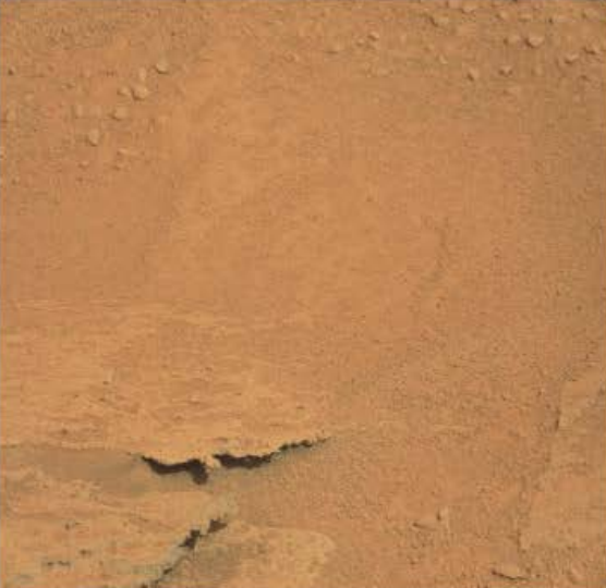 |
Sands | Granular matter, very small rocks with a diameter of 1 to 2 mm; Rock is formed by weathering and erosion; There are windward slopes and leeward slopes, with a ridge in the middle, which has relatively strong fluidity and is mainly dark in color. | 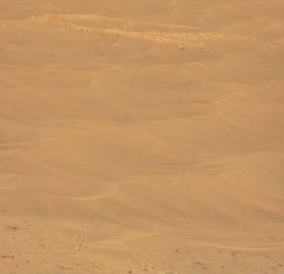 |
Gravel | Smaller than rock particles, but rougher than sand particles, formed by weathering and erosion of rocks, with a grayish color. | 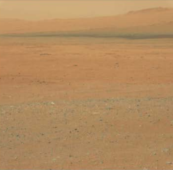 |
Bedrock | Complete new mineral rocks beneath the weathering layer on the surface of the continental crust; Flat than stone, with a grayish white color; More covered by soil layers, buried at a depth of one meter. | 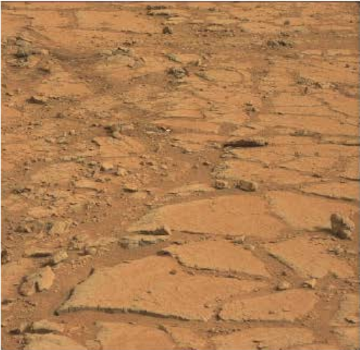 |
Rocks | A small rock mass that falls off from a large rock mass due to external forces, with a rough surface, hard texture, irregular shape, and more abrupt, with a color that leans towards blue. | 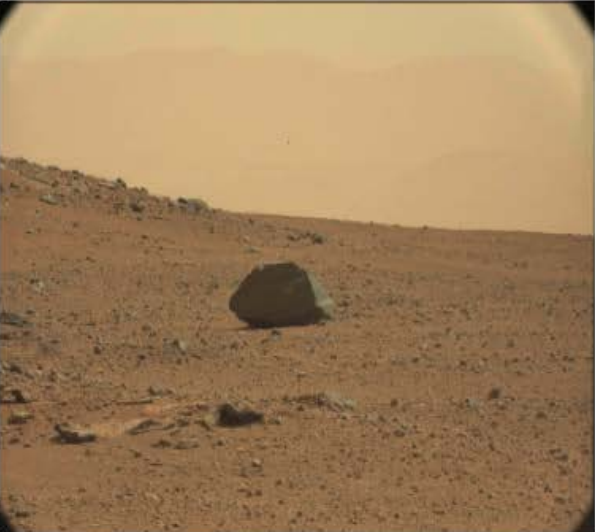 |
| Tracks | Detecting the trajectory left by the vehicle after entering. | 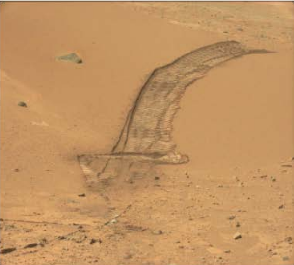 |
| Shadows | The shadows projected by detection vehicles, rocks, etc. under illumination. | 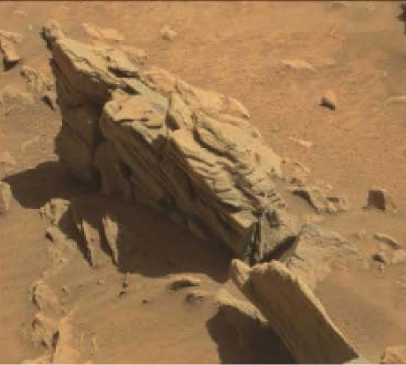 |
| Background | Categories such as distant mountains and sky. | 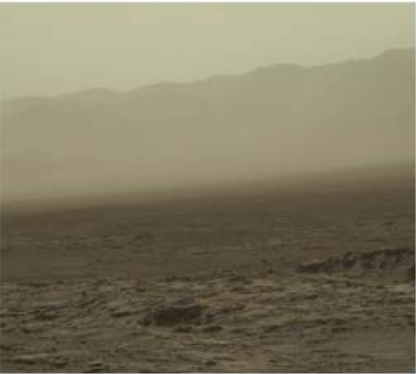 |
| Unknown | Unknown areas beyond the above categories, such as images of the Mars rover itself. | 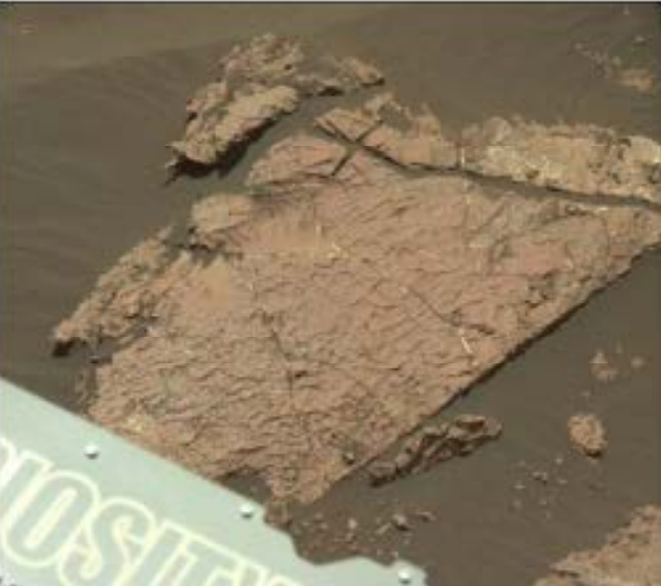 |
Citation of papers
If you have used our dataset in your research, please remember to cite our paper.
Jiaojiao Li, Shunyao Zi, Rui Song, Yunsong Li, Yinlin Hu, Qian Du, Cov-DA: A Stepwise Domain Adaptive Segmentation Network with Covariate shift Alleviation for Remote Sensing Imagery, IEEE Transactions on Geoscience and Remote Sensing, 60: 1-15, 2022. doi:10.1109/TGRS.2022.3152587. [PDF][Code]
Google Drive Download Link
Many thanks to the participants who built this dataset:
Jiaojiao Li, Bobo Xi, Chaoxiong Wu, Huanqing Zhang, Shunyao Zi, Yinle Ma, Songcheng Du, Kexin Wang, Chenxi Ji, Siyao Fan, Chiyu Chen, Hantao Zhou, Shuangying Wei, Mingze He, Qiaoyang Ren, Jiyao Liu, Fangrui Kang, Shaoze Peng, Chaohui Wang, Aohong Sun, Pengju Tian, Siyuan Xu, Xinhang Li, Haoxuan Wang, Xueyao Zhang, Ziquan Wang, Xinyuan Li, Zejun Ou, Hanwen Li, Hao Wen, Jiachao Liu, Penghao Tian, Yan Diao, Yuzhe Liu, Xuan Chen, Zhiyuan Zhang, and Yihong leng.
